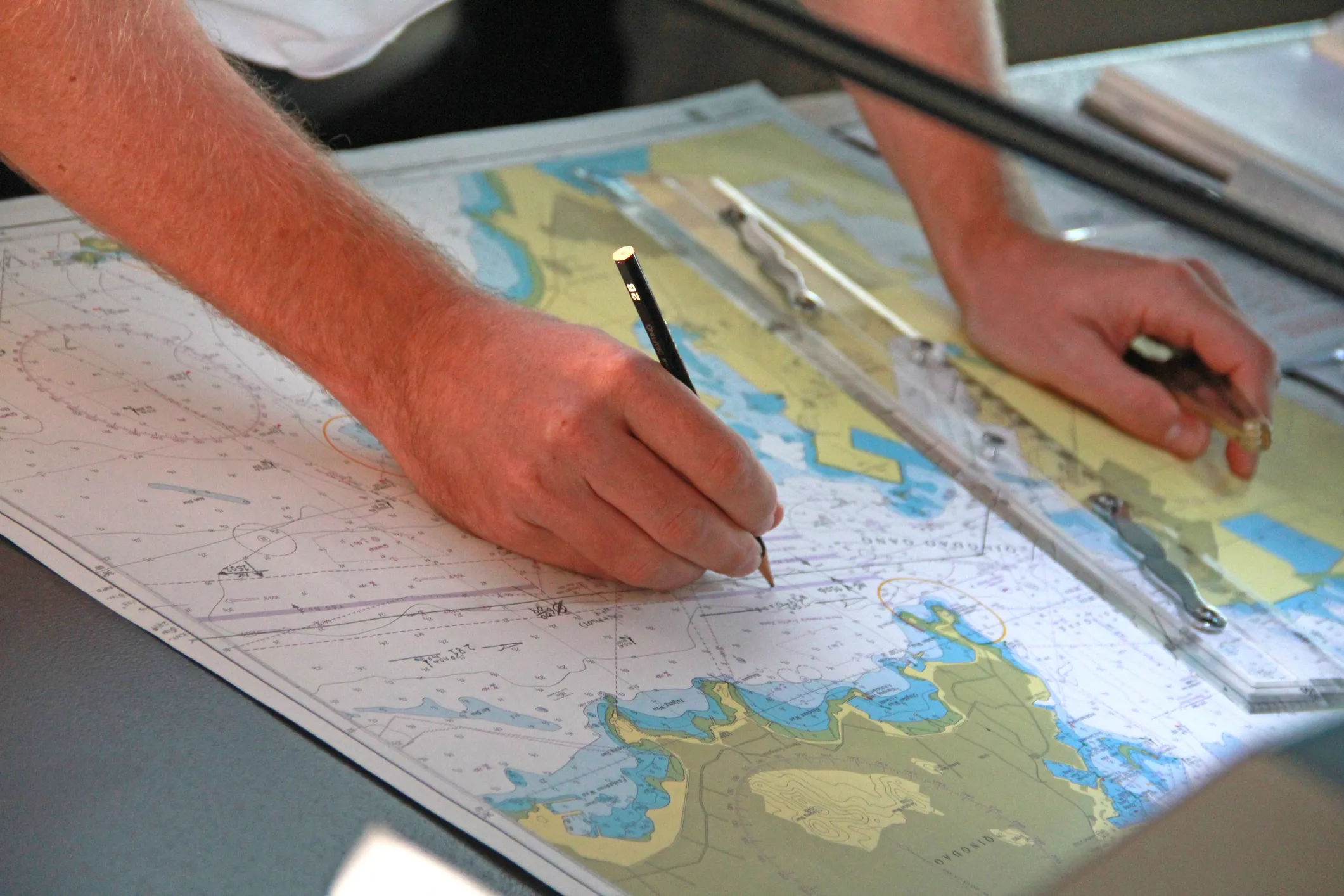
German nautical charts (Seekarten) are the official paper charts issued by the BSH, Germany's Federal Maritime and Hydrographic Agency. They cover the German North Sea and Baltic coasts including the East and North Frisian Islands, the Elbe, Weser and Ems estuaries, the Kiel Canal and the approaches to the German ports.
We order these charts individually from the BSH once you place your order; the BSH prints them on demand, so they are not available from stock – please allow additional delivery time. The advantage: a chart printed from the current chart database with the latest Notices to Mariners (NfS – Nachrichten für Seefahrer) already applied.

Order BSH charts
Send us the chart numbers from the BSH catalogue, together with your vessel's name and delivery address. We order each chart individually from the BSH – please allow additional delivery time – and ship it worldwide, also to your vessel's port agent.