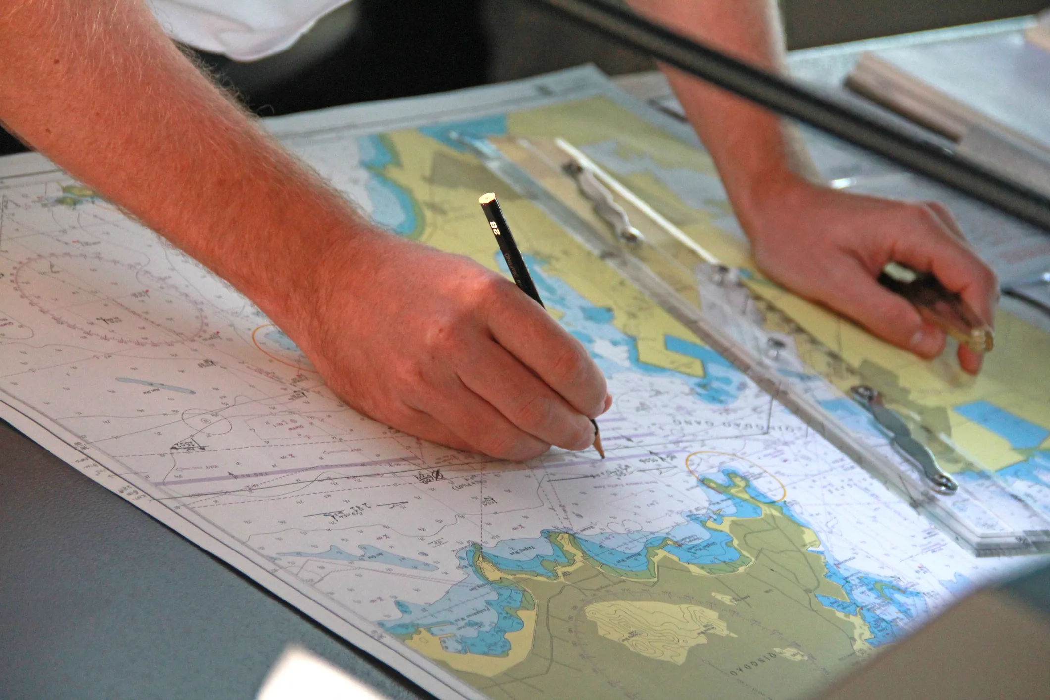
Danish paper charts are published by Geodatastyrelsen, the Danish Geodata Agency. They provide accurate and up-to-date chart coverage for Danish waters, supporting safe navigation along the coast as well as in busy and shallow areas.
We print them on demand for you, in the current edition at the time of printing.
Prices
Standard charts
General navigation charts for everyday use – €44.00 per chart
Training / Educational Charts
For nautical training, schools and examinations – €9.30 per chart
Great Circle Charts
Long-distance navigation and route planning – €9.30 per chart
All prices include VAT. Shipping costs are not included and will be confirmed separately. You are also welcome to collect your order from us in Kiel (Mon–Fri 08:00–16:30).

Order Danish charts
Send us the chart numbers from the catalogue, together with your vessel's name and delivery address. We print the charts in the current edition and ship them worldwide – also to your vessel's port agent.