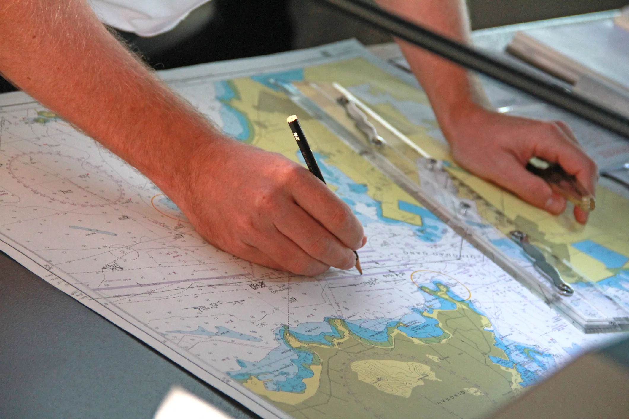
Finnish nautical charts (merikartat) are the official paper charts issued by Traficom, the Finnish Transport and Communications Agency, which acts as Finland's national hydrographic office. They cover the Gulf of Finland, the Archipelago Sea and Åland, the Gulf of Bothnia as well as the inland waterways of the Saimaa lake system.
Traficom does not offer a Print on Demand service. These charts are published in fixed print editions, which we order individually for you. Updates between editions are published through the official Notices to Mariners (Tiedonantoja merenkulkijoille / Underrättelser för sjöfarande).

Order Finnish charts
Send us the chart numbers from the catalogue, together with your vessel's name and delivery address. We order each chart individually from Traficom – please allow additional delivery time – and ship it worldwide, also to your vessel's port agent.