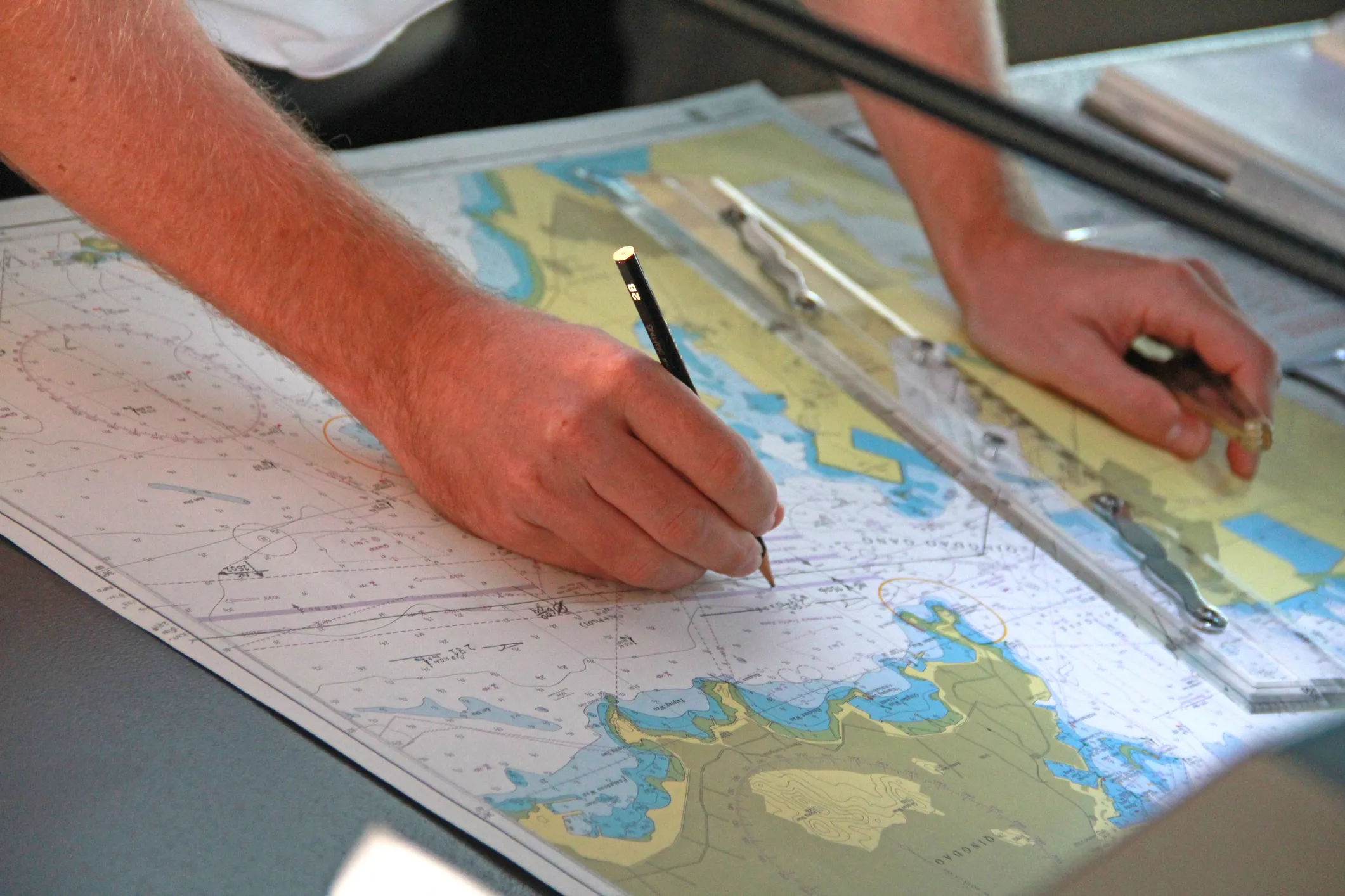
NOAA provides official U.S. government nautical chart data covering coastal waters, ports and inland waterways of the United States.
Based on this data, we create chart extracts and print them on demand from the most current official information. We are happy to advise you on the right extract or handle the preparation for you.
Request NOAA chart extracts
Tell us the area you need – we advise you on the right extract, print it from NOAA's current data and ship it worldwide, also to your vessel's port agent.